KDC S.H.I.P. RESULTS
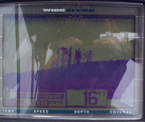
A view on depth finder of the structure holding fish.
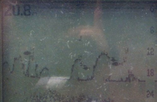
Another view showing fish making use of the structure.
The coordinates for phase II from April 2000 are
The coordinates for phase III from April 2001 are
N40deg.56'35.7" West 074deg.37'30.0".
from N40deg 56'34.5" W074deg 37' 30.6"
to N40deg 56'36.1" W074deg 37' 31.9"
and from N40deg 56'35.6" W074deg 37'29.6"
to N40deg 56'36.4" W074deg 37'30.9"
CLICK HERE TO SEE THE KDC S.H.I.P. PROJECT RESULTS UNDERWATER